-
Six info panels with maps supplemented by historical information
-
Placed in 2006
Six info panels with maps supplemented by historical information were placed near the castle in 2006 by Svazek obcí panství hradu Veveří.
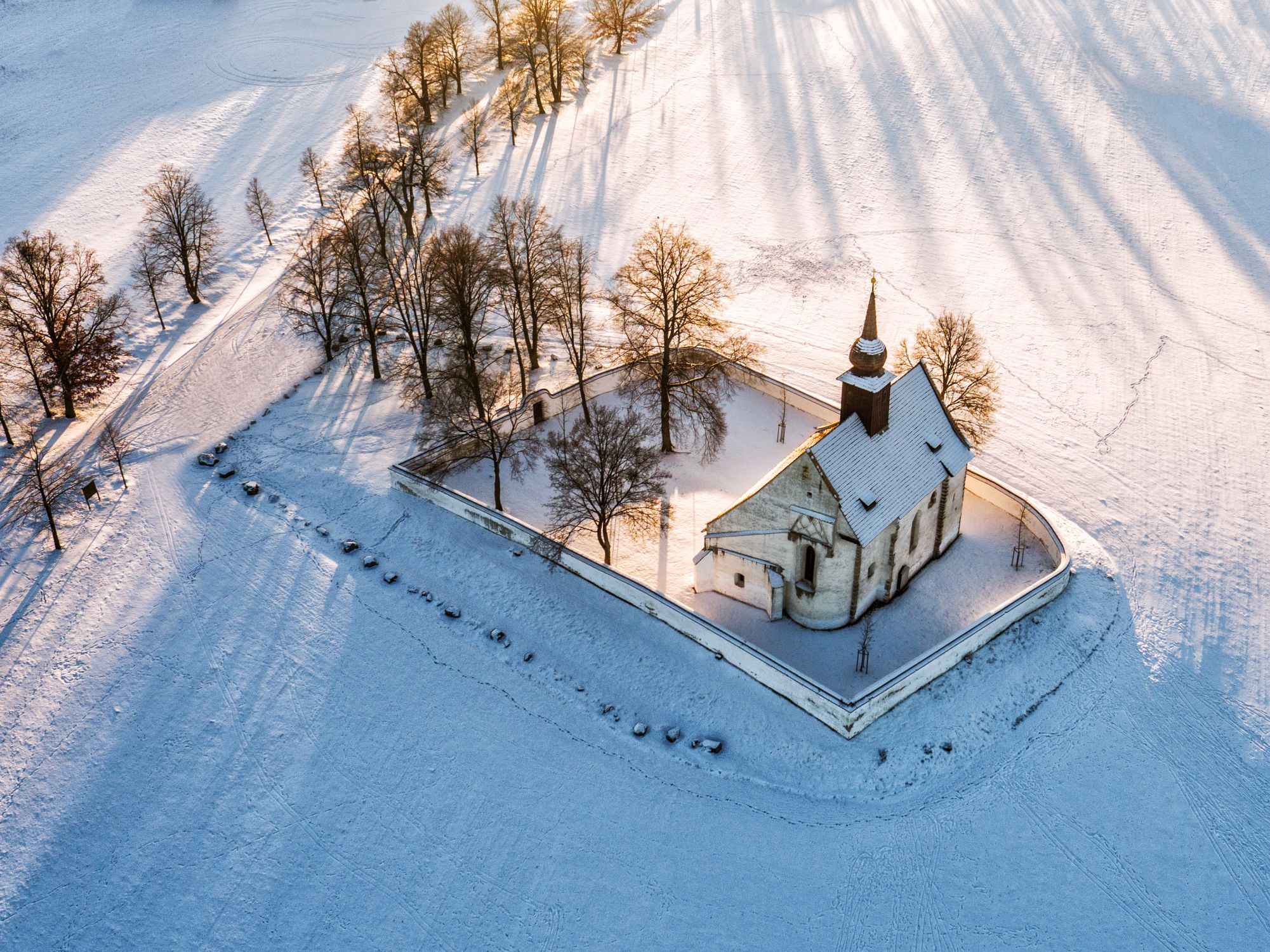
The first lies at the intersection near Church of the Assumption of the Virgin Mary (Chapel of the Divine Mother), where the valuable panel painting of Veveri Madonna was discovered in the mid 14th century. It commemorates the first mentions of the original Roman settlement from 1222 and notes that at the end of the 13 century an early Gothic castle was founded and underwent development and gained its current form in the mid 18th century. While walking around it, you can count whether it really has nine fortified towers.
49°15’20.920″N, 16°27’38.090″E
Public transport: Hrad Veveří or U Matky Boží (line 303)


Similar places nearby
-

NS Jelení žlíbek u Brněnské přehrady (Deer Glen by the Brno Reservoir ET)
Setting out from Kozí horka by the Brno Reservoir, you can walk into the picturesque region of the Podkomorské Forests
-

NS Stezka zdraví Žebětín (Žebětín Health Trail)
Walk leads through part of the Podkomorské Forests to the east of the Masarykův okruh (Masaryk Circuit).
-

Veveří Castle
One of the oldest castles in Moravia and the entire country
-

NS Brněnská přehrada, jak ji neznáte (Brno Reservoir As You’ve Never Seen It ET)
A trail with six ecologically focused stations runs against the Svratka’s current along the left bank of the Brno Reservoir.